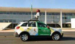
Google Street View explores Japan disaster zone

Google has published a bank of interactive images of the area of Japan hit by a huge quake and tsunami in March, letting viewers take a virtual walk through the zone before and after the disasters.
Vehicles from Google's Street View service drove along 44,000 kilometres (27,000 miles) of roads to collect the images from the areas worst affected by the twin disasters, which killed about 20,000 people.
Mostly shot in July, the 360-degree images linked to a map of the area provide a portrait of devastation, with piles of debris, gutted and flattened buildings, and overturned boats amid a vast wasteland.
At users' request, Google also provides images of the same region before the quake, with a comparison tool for "before" and "after" pictures. The photos capture 82 cities and villages in the prefectures of Miyagi, Iwate, Fukushima, Ibaraki, Yamagata and Aomori.
"It is our hope that this will help people rediscover lost memories of their homes and towns," said Google on the dedicated site, which will also host photos and videos uploaded by residents from the area.
The site can be accessed in English at www.miraikioku.com/streetview/en .
(c) 2011 AFP


